DJI
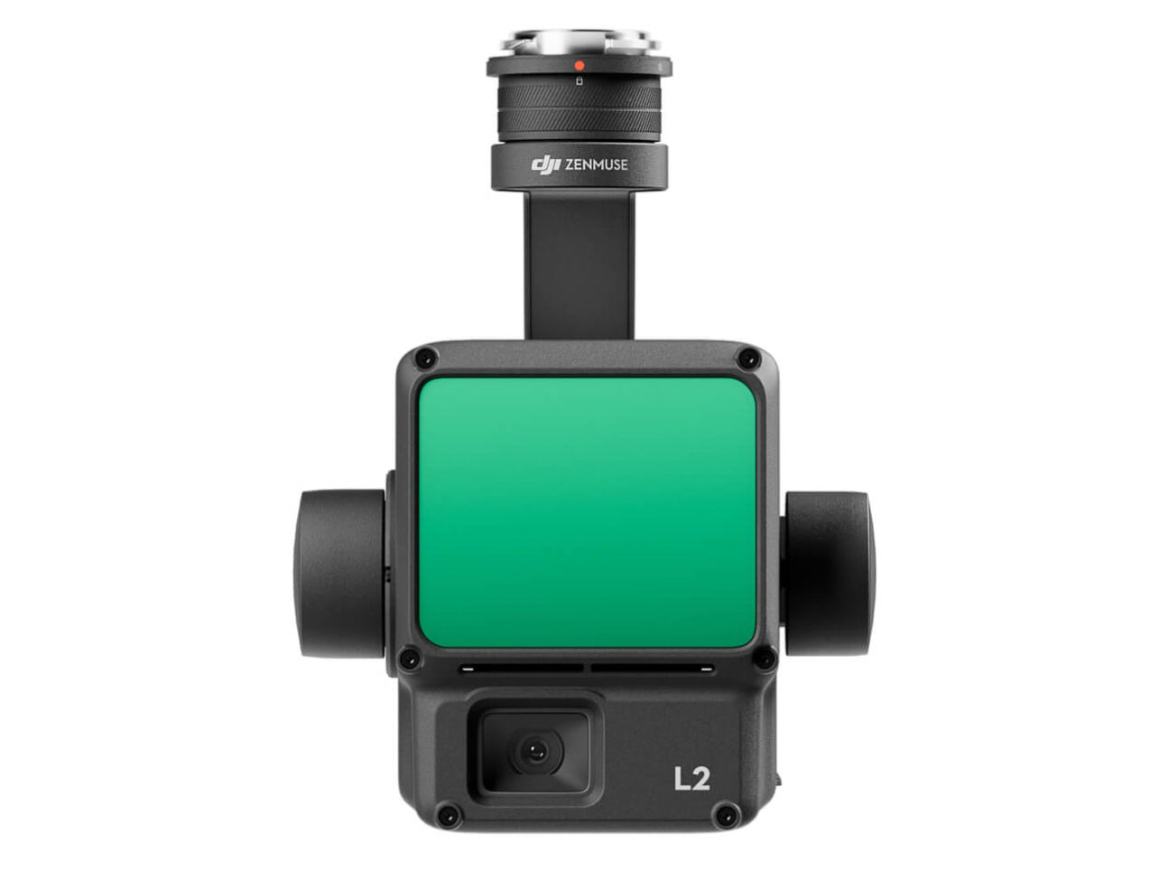
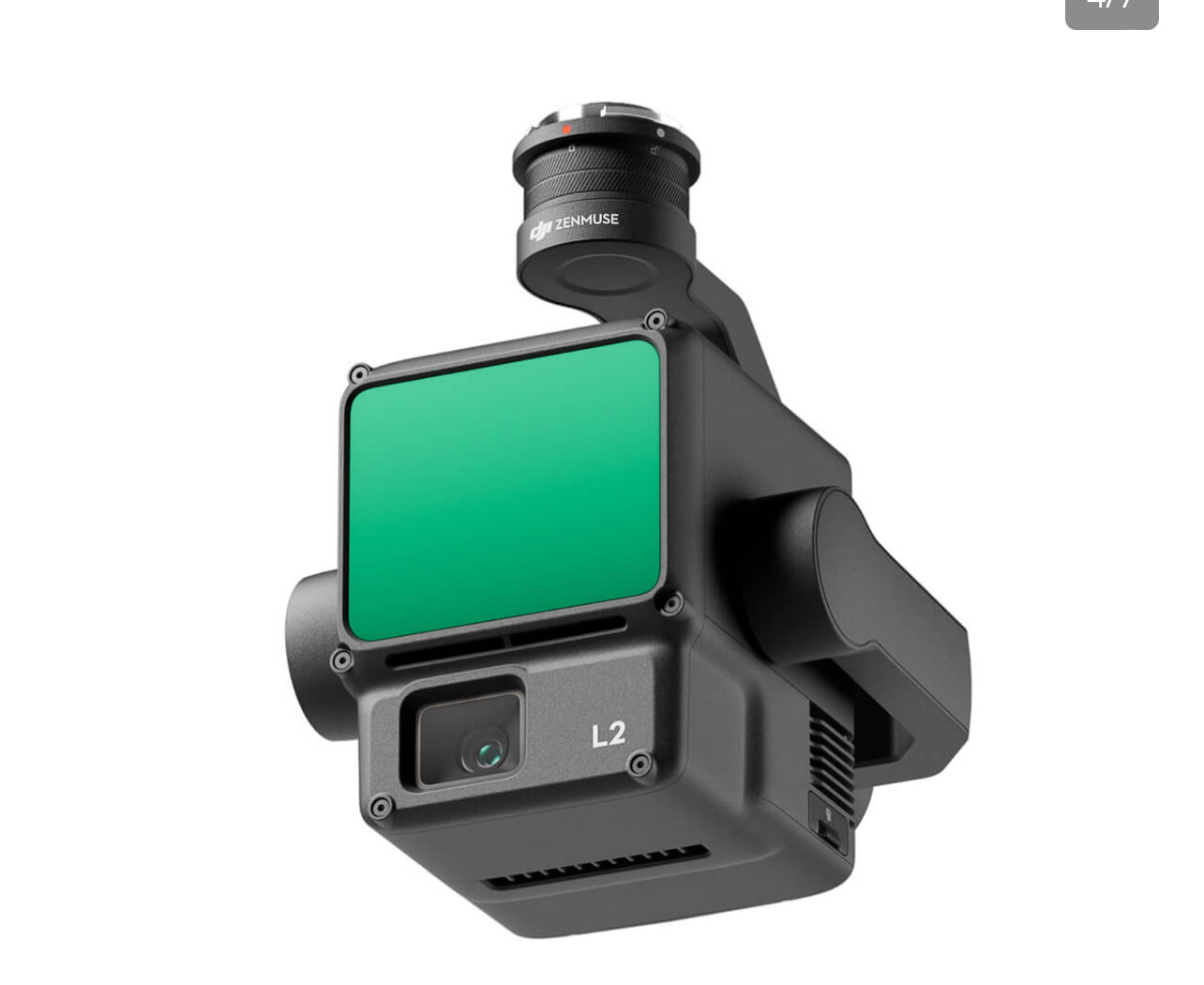
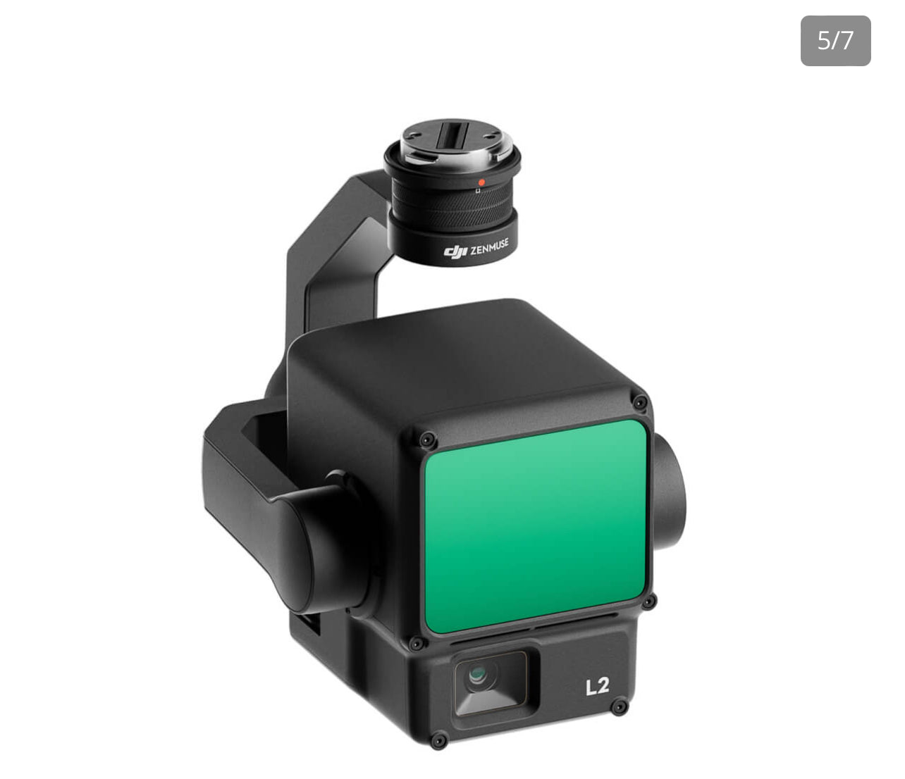
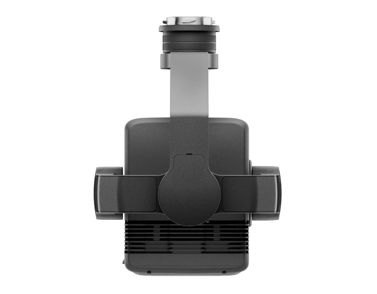
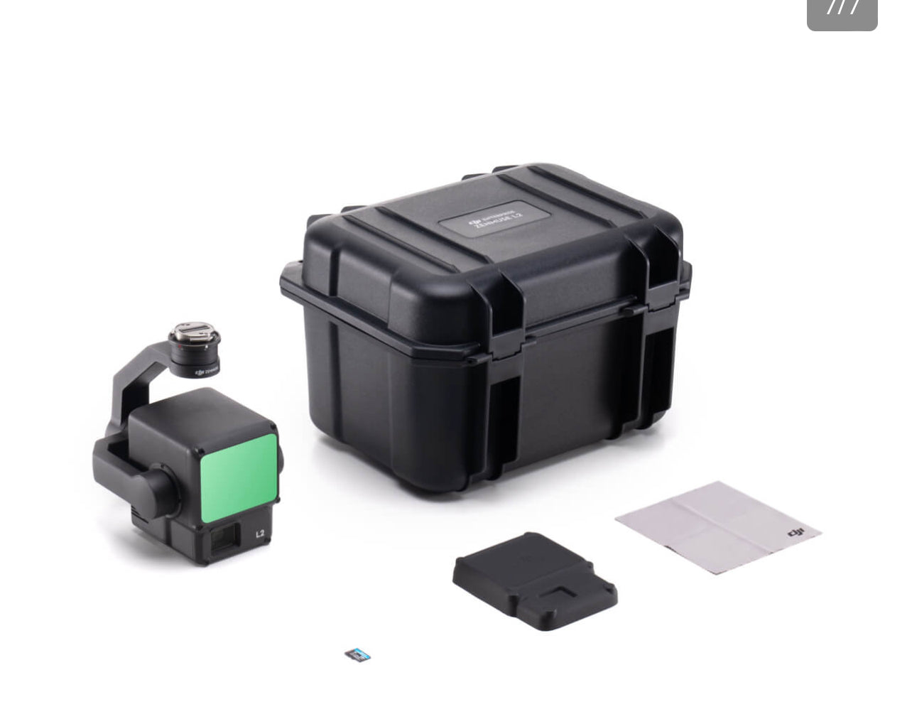
Zenmuse L2
- Exceptional Precision
- Remarkable Efficiency
- Outstanding Depth Penetration
- Detection Range of 250m/450m
- Five Returns
- Comprehensive Turnkey Solution
- LiveView Point Cloud Display
- Simplified One-Click Processing with DJI Terra
Enhanced Precision: Through the fusion of GNSS technology with our in-house high-accuracy IMU system, this solution attains a vertical accuracy of 4cm and a horizontal accuracy of 5cm. [1]
Unprecedented Productivity: It becomes operational instantly upon power-up, capable of gathering point cloud data from a vast 2.5km² area in a single flight. [2]
30% Expansion in Detection Range: L2 achieves a remarkable detection range of up to 250 meters (at 10% reflectivity and 100 klx) and an impressive 450 meters (at 50% reflectivity and 0 klx) [3], with the standard operational altitude now reaching up to 120 meters.
Enhanced Depth Penetration: Featuring a compact spot size of 4×12 cm at a distance of 100 meters—only a fifth of that offered by L1—L2 not only excels at detecting smaller objects and producing more intricate models but also has the capability to generate Digital Elevation Models (DEMs).
Effortless Processing in DJI Terra: Produce a standardized 3D point cloud model and a Digital Elevation Model (DEM) with a single click. Additionally, DJI Terra offers the ability to assess the quality of the point cloud.
Live Point Cloud Viewing: Offering three viewing modes - RGB, pure point cloud, and a side-by-side display of point cloud and RGB data - you can swiftly preview the captured 3D point cloud model [4] for real-time progress monitoring.
Footnotes:
-
Evaluation conducted within a controlled DJI laboratory setting: The assessment took place with a Zenmuse L2 mounted on a Matrice 350 RTK and powered on. Flight route planning utilized DJI Pilot 2's Area Route function with IMU calibration enabled. The survey employed repetitive scanning in conjunction with the RTK in FIX status. A relative altitude of 150 meters, flight speed of 15 meters per second, gimbal pitch of -90°, and flight route segments under 1500 meters were maintained. The surveyed area featured objects with distinct angular characteristics, and reference points on solid ground adhered to the diffuse reflection model. Post-processing was carried out with DJI Terra, incorporating the optimization of point cloud accuracy. In the same conditions but with Point Cloud Accuracy Optimization disabled, vertical accuracy measured at 4 cm and horizontal accuracy at 8 cm.
-
Measured during Zenmuse L2's installation on Matrice 350 RTK, maintaining a flight speed of 15 m/s, a flight altitude of 150 meters, a side overlap rate of 20%, IMU calibration enabled, Elevation Optimization deactivated, and terrain follow turned off.
-
The provided data represents typical values. Measurement was performed using a flat target with dimensions larger than the laser beam diameter, an incident angle perpendicular to the target, and atmospheric visibility of 23 km. In low-light conditions, laser beams can achieve their optimal detection range. When a laser beam interacts with multiple targets, the total laser transmitter power is divided, resulting in a reduced achievable range. The maximum detection range reaches 500 meters.
-
The 3D model underwent sparse representation during the processing stage.