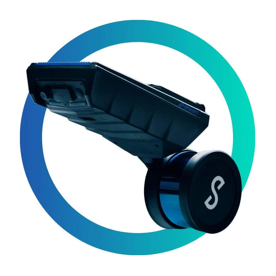

Hovermap ST – The Ultimate LiDAR Scanner for 3D Mapping
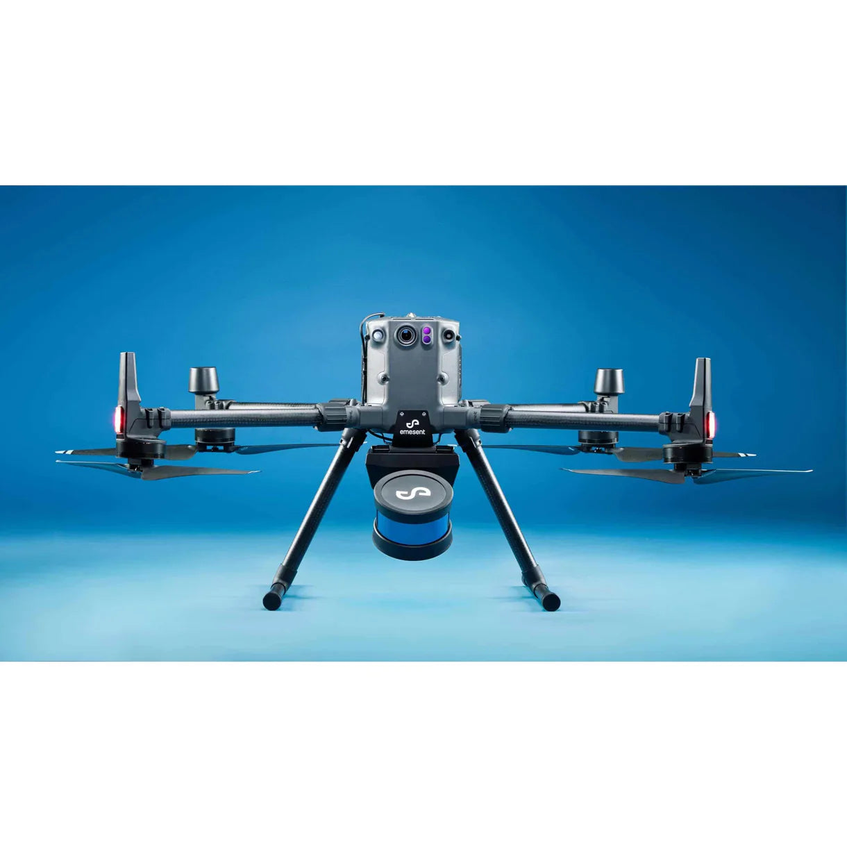
The Hovermap ST is a next-generation LiDAR scanner and mobile mapping solution designed to deliver survey-grade 3D point clouds in any environment. Built on Emesent’s world-leading SLAM (Simultaneous Localization and Mapping) technology, Hovermap ST provides unmatched accuracy and reliability—even in GPS-denied environments such as underground mines, dense forests, or urban canyons.
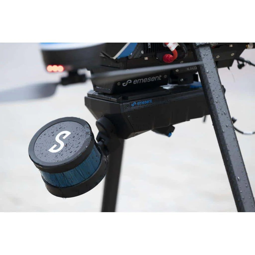
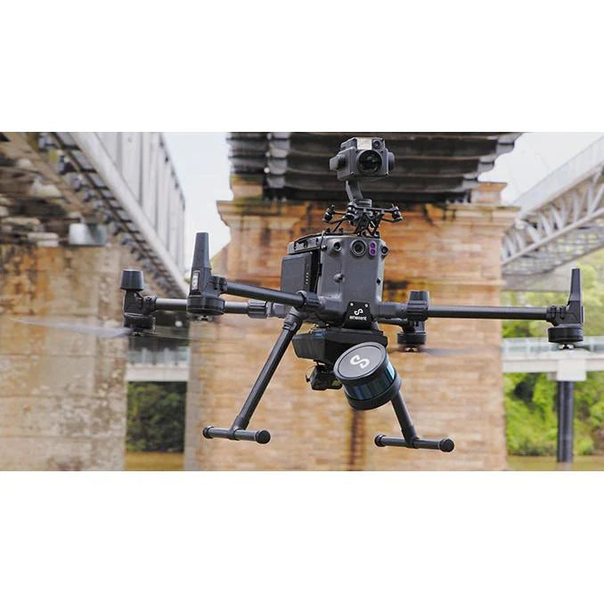
Its versatile design makes it one of the most flexible drone LiDAR systems available today. With a simple quick-release mechanism, Hovermap ST can transition seamlessly between drone-mounted, handheld, vehicle-mounted, or backpack-mounted modes—making it a complete solution for professionals in surveying, construction, mining, and infrastructure inspection.
Key Features & Benefits
-
Lightweight & Portable: Optimized for long drone flight times and effortless mobile mapping on foot.
-
Rugged & Reliable: IP65-rated for dust, splash, and weather resistance—built for real-world field conditions.
-
Survey-Grade Point Clouds: Capture dense, accurate, and shadow-free LiDAR data enhanced by Emesent’s Automated Ground Control.
-
Flexible Deployment: Switch instantly between drone LiDAR, handheld scanning, backpack, or vehicle mounting.
-
Advanced Autonomy: Built-in autonomy features like Tap-to-Fly, Collision Avoidance, and Guided Exploration streamline operations and reduce risk.
-
Colorized 3D Mapping: Add true-color imagery to point clouds for more intuitive visualization, analysis, and client-ready presentations.
A Complete 3D Mapping Solution
The Hovermap ST is more than just a LiDAR scanner—it’s a comprehensive mobile mapping system. From surveying complex construction sites to mapping underground mines or capturing critical infrastructure data, it enables safe, efficient, and highly accurate 3D data collection in even the harshest environments.
Whether you’re scanning indoors or outdoors, above ground or underground, Hovermap ST delivers the flexibility, accuracy, and speed you need to stay ahead in modern mapping and surveying projects.