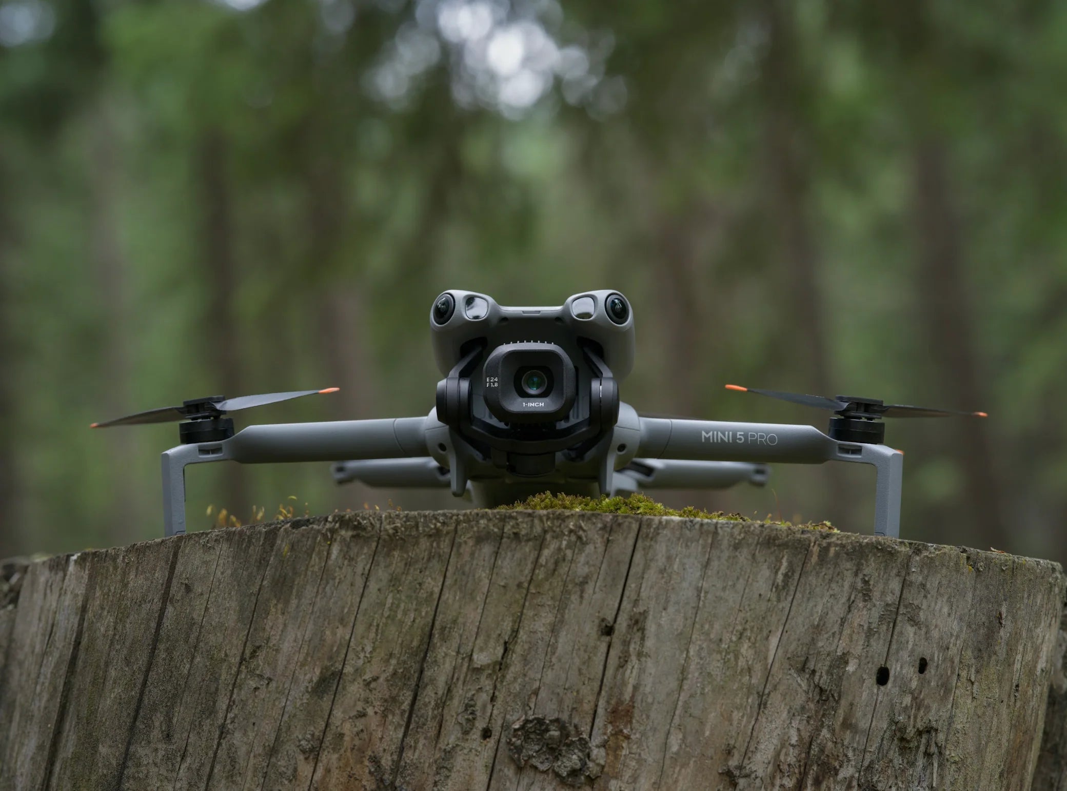
DroneLabs.ca
Zenmuse L3 Rental
Choose options
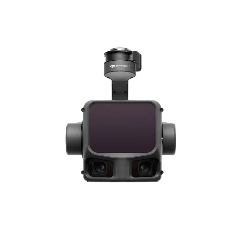
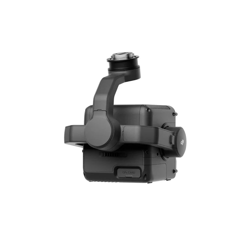
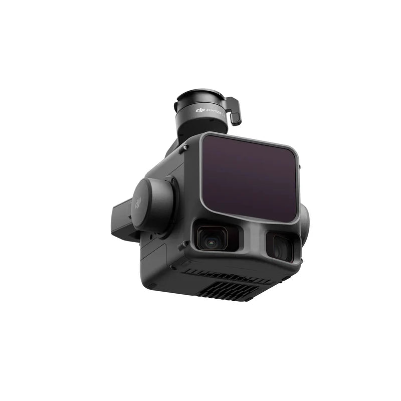
Rent DJI Zenmuse L3 LiDAR Payload (Survey-Grade Long-Range Mapping)
Need fast, accurate LiDAR without committing to a full purchase? The DJI Zenmuse L3 is DJI’s latest high-precision aerial LiDAR and RGB mapping payload, built for professional surveying, corridor mapping, forestry, and earthworks. With a 1535 nm long-range LiDAR sensor, advanced IMU/POS positioning, and a dual 100 MP Micro Four Thirds RGB system, L3 captures dense, true-color point clouds and high-resolution imagery in fewer passes—especially in complex terrain and vegetation.
Why rent the Zenmuse L3?
-
Long-range LiDAR performance – 1535 nm wavelength improves penetration through vegetation, haze, and low-reflectivity surfaces, giving cleaner ground returns in forestry and topographic scans.
-
Survey-grade accuracy – Designed for high-precision deliverables (engineering, mining volumes, construction verification) with tight horizontal/vertical accuracy when flown with RTK workflows.
-
Ultra-efficient capture – Wider LiDAR FOV and high point throughput reduce flight lines and time on site.
-
True-color point clouds & sharp orthos – Dual 100 MP cameras (or fast 25 MP mode) with a wide combined field of view allow simultaneous photogrammetry-grade imagery alongside LiDAR.
-
Stabilized 3-axis gimbal – Keeps scans consistent during aggressive flight paths and terrain following.
Ideal for
-
Forestry & vegetation-heavy terrain mapping
-
Corridor / powerline / pipeline surveys
-
Mining & aggregate stockpile volumes
-
Construction progress + earthworks validation
-
High-detail topographic and flood modeling
-
Infrastructure and road design surveys
Compatibility
Zenmuse L3 is designed for DJI enterprise platforms that support the L-series LiDAR payload, most notably the Matrice 400 RTK family. If you want to pair it with a specific aircraft, tell us your setup and we’ll confirm compatibility before your rental.
What’s included in the rental
-
DJI Zenmuse L3 payload
-
Gimbal connector / mounting hardware
-
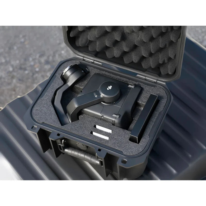
Protective hard case
-
Quick-start checklist + handling guide
(Aircraft, RC, batteries, and data processing software not included unless added to your quote.)
Rental notes & requirements
-
RTK recommended: To get survey-grade results, use an RTK-enabled aircraft and base/NTRIP workflow.
-
Data workflow: L3 outputs LiDAR + RGB datasets ready for standard survey/point-cloud pipelines (LAS/LAZ/PLY + orthos depending on processing).
-
Training available: If your team is new to LiDAR missions, ask about a quick onboarding session before pickup.
-
Damage coverage: Optional protection plans available for peace of mind.